

.png)
.png)
.png)
.png)


ARTICLE AD BOX
Last Updated:June 14, 2025, 11:05 IST
The Israel Defense Forces admitted its graphic “failed to precisely depict borders” after a social media backlash over showing Jammu and Kashmir outside India
The IDF has apologised for a graphic that misrepresented Indian borders.
The Israel Defense Forces (IDF) has issued a public apology after posting a map on social media that inaccurately depicted India’s borders, showing Jammu and Kashmir as part of Pakistan. The post, shared on X (formerly Twitter) late Friday evening, was part of a broader message highlighting Tel Aviv’s view of Iran as a “global threat". But it quickly sparked a wave of criticism from Indian users who flagged the erroneous map and demanded immediate correction.
The backlash prompted the Israeli military to respond directly to one of the complaints, saying: “This post is an illustration of the region. This map fails to precisely depict borders. We apologise for any offense caused."
This post is an illustration of the region. This map fails to precisely depict borders. We apologize for any offense caused by this image.— Israel Defense Forces (@IDF) June 13, 2025
The clarification came roughly 90 minutes after the original tweet went up and was addressed to an X account called “Indian Right Wing Community", which had publicly highlighted the map and tagged Prime Minister Benjamin Netanyahu. “Now you understand why India remains neutral. In diplomacy, no one’s really your friend."
Now you understand why India remains neutral. In diplomacy, no one’s really your friend.— Indian Right Wing Community (@indianrightwing) June 13, 2025
Several others followed, urging the IDF to delete, correct, and repost the map. Some pointed out that the depiction undermined India’s territorial integrity and questioned why a close ally would make such a mistake.
Indian map is incorrect…. have some shame— Shivani Kapur (@CricketMaiden88) June 13, 2025
Your people need to learn few stuff about India sir @ReuvenAzarI hope you will escalate it with your forces. As you can see in the comments, we are very particular about our maps.
— Elite Predators (@elitepredatorss) June 13, 2025
The incident also drew political reactions back home, with Congress leader Pawan Khera criticising the government over its close ties with Israel, suggesting that such lapses reflect poorly on India’s diplomatic positioning and its claims of global influence.
As of now, the Indian government has not officially responded to the incident.
The Map And What Sparked The Backlash
The map was part of a tweet that read: “Iran is a global threat. Israel is not the end goal, it’s only the beginning. We had no other choice but to act."
The graphic in question was intended to show the range of Iranian missiles, with concentric red circles emanating from Iran and shading over a wide swathe of territory, covering Saudi Arabia, Libya, Ethiopia, India, China, Kazakhstan, Romania, Bulgaria, Russia, Turkey, and others. However, the map’s depiction of India’s borders was incorrect, showing Jammu and Kashmir outside the country, effectively implying it was Pakistani territory.
India’s Firm Stand On J&K
India has repeatedly made its position clear that Jammu & Kashmir and Ladakh, including areas illegally occupied by Pakistan and China for decades, are integral and inalienable parts of the country. Prime Minister Narendra Modi reiterated this stand just last month in the wake of the Pahalgam terror attack and during the launch of Operation Sindoor, India’s retaliatory strike on terror infrastructure across the border.
Why The Map Error Stings
The cartographic error has caused particular dismay because of the strong and carefully nurtured relationship between India and Israel in recent years. In 2017, Prime Minister Narendra Modi became the first Indian Prime Minister to visit Israel, a landmark trip that cemented ties in areas such as agriculture, cybersecurity, defence, and trade.
Today, India is among Israel’s top five trading partners, alongside the United States, the United Kingdom, Hong Kong, and China. It is also one of the largest buyers of Israeli military equipment.
Against this backdrop, the use of an incorrect map by the Israeli military, whether accidental or careless, has struck a nerve in Indian strategic circles and among the public.
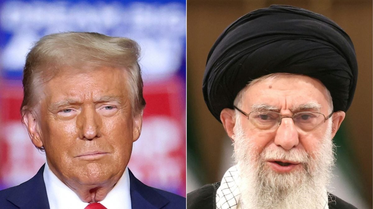
Israel-Iran Conflict
The incident comes amid a sharp escalation between Israel and Iran. On June 13, Israel launched Operation Rising Lion, targeting key Iranian military and nuclear facilities, including the Natanz site. In retaliation, Iran fired over 150 ballistic missiles and drones at Israeli cities such as Tel Aviv and Jerusalem, marking one of the most direct confrontations between the two nations. While both sides reported casualties and damage, the broader concern is the risk of a full-scale regional conflict, with global powers urging restraint.

Karishma Jain, Chief Sub Editor at News18.com, writes and edits opinion pieces on a variety of subjects, including Indian politics and policy, culture and the arts, technology and social change. Follow her @kar...Read More
Karishma Jain, Chief Sub Editor at News18.com, writes and edits opinion pieces on a variety of subjects, including Indian politics and policy, culture and the arts, technology and social change. Follow her @kar...
Read More
- Location :
- First Published:
News india Israel Apologises For Map Showing J&K As Part Of Pakistan After Indians Slam ‘Friend’s Blunder’


 English (US) ·