

.png)
.png)
.png)
.png)


ARTICLE AD BOX
Last Updated:July 01, 2025, 18:09 IST
Many question whether upstream activities in China—especially the construction of mega dams—are disturbing the Brahmaputra’s natural hydrological rhythm
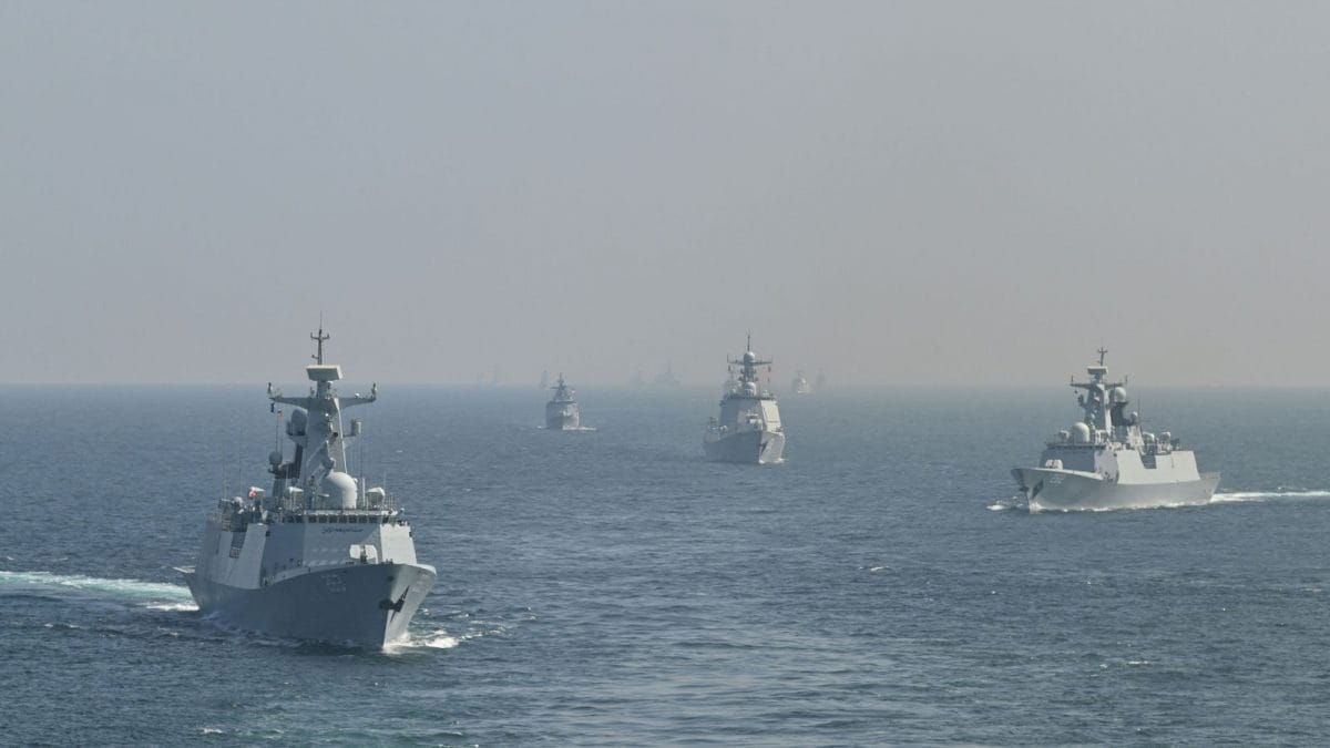
China accounts for only 22 to 30 per cent of the total Brahmaputra River Basin's discharge. (Image: PTI)
The mighty Brahmaputra—revered as “Mahabahu" for its wide arms and wild temperament—has once again displayed its unpredictable nature this monsoon. But beyond natural fury, a new wave of concern is rising across Assam: are upstream activities by China constricting the natural flow of this transboundary river?
In June 2025, ferry services in Majuli, the world’s largest river island, were severely disrupted. Multiple ferries, including RPL Digaru, MV Saptashwari, and SB Jalatari, got stranded mid-river, not due to mechanical failure, but due to shifting sandbanks—a consequence of unusual sedimentation and riverbed exposure. These incidents led to a suspension of services vital to the river island district of Assam.
While these occurrences seemed isolated initially, they are now raising alarm among experts and locals. Many question whether upstream activities in China—especially the construction of mega dams—are disturbing the Brahmaputra’s natural hydrological rhythm.
The Brahmaputra, known as Yarlung Tsangpo in Tibet, originates in the Himalayas and flows through China, India, and Bangladesh. While the river largely depends on India’s monsoon-fed catchments, the upper reaches in Tibet provide critical early flow, especially during lean seasons.
China’s aggressive dam-building spree on the Yarlung Tsangpo, including the proposed world’s largest hydroelectric dam near the Great Bend (close to Arunachal Pradesh), has triggered fears in India. The concern is not total water stoppage but flow manipulation, particularly during pre-monsoon months. However, this time it’s the monsoon mayhem.
Himanta highlights Chinese activity
Assam chief minister Himanta Biswa Sarma has directly addressed these concerns. He recently clarified that China contributes only about 30% of the Brahmaputra’s total discharge. The rest—65% to 70%—comes from India’s northeast region, thanks to heavy monsoon rainfall and contributions from tributaries like Subansiri, Lohit, and Kameng.
Still, CM Sarma acknowledged that large-scale Chinese infrastructure projects could destabilise the river’s seasonal rhythm, making downstream areas more flood-prone during monsoon and dry during other months. “If this dam comes," Sarma said, “then the Brahmaputra ecosystem will become fragile and dry… we will depend on rainwater from Arunachal Pradesh and Bhutan."
Despite fears, experts agree that China cannot fully choke the Brahmaputra’s flow into India, geographically or politically.
Geographical limitation: Only 14% of the Brahmaputra’s annual flow is within China’s control before it enters India. Even massive dam projects can’t store or divert the sheer volume of monsoon-fed discharge that arrives from India’s side of the basin.
Technical hurdles: The Tibetan plateau, where these mega dams are planned, is one of the world’s most seismically active zones. Large-scale infrastructure here is vulnerable to earthquakes, landslides, and massive structural risks.
Geopolitical risks: A sudden release or manipulation of water could cause downstream disasters in India, which would not only damage bilateral relations but also dent China’s international reputation and strategic interests.
Nevertheless, China can regulate the flow to a degree, especially during non-monsoon months. This could lead to seasonal dryness, sedimentation changes, and ecological imbalances downstream, potentially linked to ferry stranding and unusual elephant migration patterns witnessed in Majuli. However, the million-dollar question is why all these issues arise during the monsoon.
Majuli’s woes: Nature’s whim or human interference?
The mid-June incidents in Majuli seem to reflect altered hydrodynamics in the riverbed. Ferries ran aground on newly formed sandbars, indicative of either reduced water flow or sudden sediment deposition.
While it is difficult to conclusively blame Chinese dam activity for these events, the correlation between upstream manipulation and downstream consequences is growing harder to ignore.
India’s countermove—the Siang Upper Project
India, not sitting idle, has proposed the Siang Upper Multipurpose Project in Arunachal Pradesh. Aimed at generating 11,000 MW of clean energy, this mega dam also intends to assert control over the Brahmaputra’s downstream flow and counter China’s upstream leverage.
However, local communities and environmentalists have raised strong objections. They fear ecological destruction, displacement, and irreversible damage to the fragile Himalayan ecosystem.
The way forward: Cooperation over confrontation
The Brahmaputra is more than a river—it is a cultural, ecological, and geopolitical lifeline.
India and China do have a water-sharing information exchange agreement, but experts argue it’s not sufficient.
- Location :
Guwahati [Gauhati], India, India
- First Published:
News india Mid-Monsoon Mayhem In 'Mahabahu' Brahmaputra: Are Chinese Dams 'Arm-Twisting' Nature’s Flow?


 English (US) ·