
.png)
.png)
.png)
.png)


 1 week ago
7
1 week ago
7
HYDERABAD
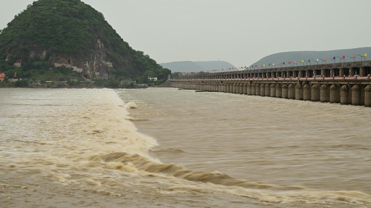
The State government is employing a state-of-the art VTEM (versatile time domain electromagnetic) plus magnetic geophysical survey for resuming the Srisailam Left Bank Canal (SLBC) tunnel work, which came to a grinding halt on February 22, following the roof collapse burying eight workers, technicians and engineers alive.
According to Minister for Irrigation N. Uttam Kumar Reddy, the government has engaged the National Geophysical Research Institute (NGRI) on nomination basis and has accorded administrative approval for ₹2.36 crore for the purpose. The government has also issued orders to the effect on Friday.
Explaining about the VTEM and magnetic geophysical survey, the Minister told The Hindu that the equipment would be mounted onto a helicopter (hanging from it) and would study the geology for a depth of up to 1 km from the surface of the land, from the ground level. Though the alignment of the tunnel passes from a depth of about 500 meters from the surface, the survey would map the strata for another 500 meters depth below the tunnel, all along the alignment.
The Minister stated that the survey would map the strata for all along about 9.5 km of the tunnel work alignment pending completion (to be excavated) including studying the fault lines, types of geological strata, cracks in the layers, types of rock formation and others to ensure precise planning to address the structural challenges.


 English (US) ·