ARTICLE AD BOX
Last Updated:March 05, 2026, 21:49 IST
Iran insisted the IRIS Dena was in international waters when it was struck, though geographical reports place the wreckage well within Sri Lanka's exclusive economic zone
![]()

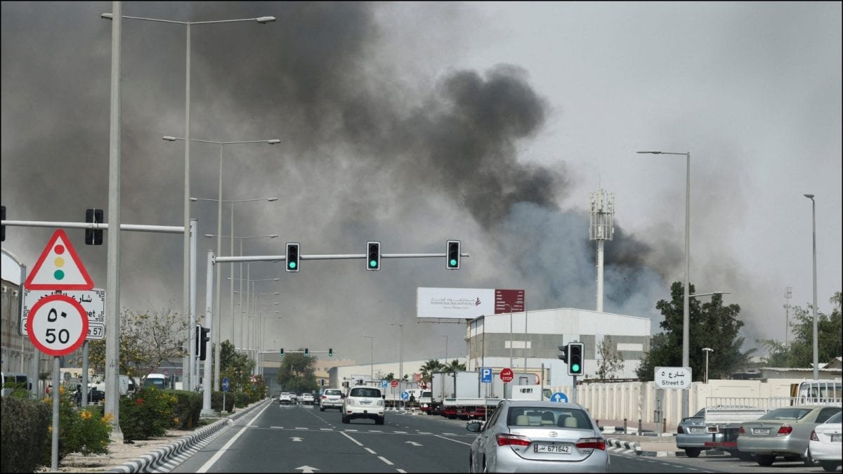
By sinking the vessel on its homeward transit, the US has effectively declared that international waters are no longer a neutral sanctuary for Iranian assets. (Image: News18)
What many described as the Iran conflict now in India’s backyard, the sinking of Iranian ship IRIS Dena in the Indian Ocean has become a significant flashpoint in the ongoing West Asia conflict.
The IRIS Dena, which was returning to Iran after an Indian naval exercise off Visakhapatnam in Andhra Pradesh, was torpedoed by an American submarine in an unprecedented military escalation on Wednesday (March 4).
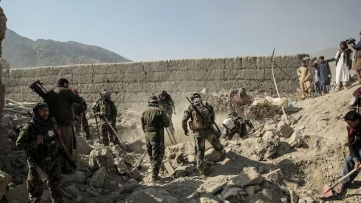
This encounter represents the first time since World War II that the United States used a torpedo to sink an enemy vessel, which resulted in a devastating loss of life and triggered a complex search-and-rescue mission led by the Sri Lankan Navy. While Iranian officials reported approximately 130 people were on board, Sri Lankan authorities estimated the figure to be closer to 180.
The Sri Lankan Navy recovered 87 bodies while 32 survivors were treated for injuries in Galle. Defence Secretary of the US, Lloyd Austin reportedly described the torpedo strike as a “quiet death".
Iranian foreign minister Abbas Araghchi denounced the strike as an illegal “atrocity at sea", saying the IRIS Dena was a “guest of India’s Navy" and was attacked without warning in international waters.
Araghchi issued a warning to the US, saying Washington will “bitterly regret" the precedent set by this action. The situation remains volatile as a second Iranian vessel, the IRIS Bushehr, carrying at least 300 crew and cadets, was spotted just outside Sri Lankan waters. This prompted emergency meetings between President Anura Kumara Dissanayake and top officials over Iran’s request for the ship to enter the safety of the island’s jurisdiction.
But, what does this mean? It is essential to examine how maritime boundaries are defined by the United Nations Convention on the Law of the Sea (UNCLOS). They are best understood as a gradient where a country’s control diminishes the further one travels from the shore.
WHAT ARE TERRITORIAL WATERS?
Known as the “sovereign zone", territorial waters form the most restrictive maritime zone extending up to 12 nautical miles (approximately 22 km) from a nation’s baseline.
Under international law, this area is considered an extension of the country’s land territory. The coastal state possesses full jurisdiction over the water column, seabed, and airspace above it.
Within these waters, foreign vessels are granted the right of “innocent passage", which means they may transit through the area provided they do not stop, fish, spy, or conduct military exercises. A critical rule for submerged vessels is that submarines must travel on the surface and clearly display their national flag when passing through another nation’s territorial waters.
In the case of the IRIS Dena, it was noted that the ship sank approximately 19 nautical miles off the coast of Galle placing it outside Sri Lanka’s territorial waters but within its broader economic jurisdiction.
WHAT IS AN EXCLUSIVE ECONOMIC ZONE?
Known as the “resource zone", the exclusive economic zone (EEZ) extends from the 12-nautical-mile limit of the territorial sea out to 200 nautical miles (approximately 370 km).
Unlike territorial waters, a coastal state does not “own" the EEZ in a sovereign sense. Rather, it holds “sovereign rights" specifically over the resources within that zone. This includes the sole right to fish, extract oil and gas, or build offshore wind farms.
The legal status of the EEZ regarding military activity is often a point of international contention. While the coastal state controls the resources, foreign ships and aircraft enjoy “freedom of navigation" and overflight. They do not require permission to sail through the EEZ, provided they do not exploit the local resources.
The IRIS Dena sank within Sri Lanka’s EEZ, specifically within the Contiguous Zone – a 12 to 24-nautical-mile buffer where a state can enforce laws regarding customs, taxation, and immigration.
WHAT ARE INTERNATIONAL WATERS?
Referred to as the “high seas", any maritime area beyond the 200-nautical-mile EEZ is classified as international waters.
This vast expanse is legally defined as the “common heritage of mankind" and belongs to no single nation. No country can claim any part of the high seas as its own.
In international waters, ships are subject only to the laws of the country whose flag they fly – a concept known as “flag state" jurisdiction. While anyone is free to fish, lay submarine cables, or conduct scientific research, the International Seabed Authority regulates mining on the ocean floor to prevent environmental damage.
Iranian officials have insisted the IRIS Dena was in international waters when it was struck, though geographical reports place the wreckage 19 nautical miles from the Sri Lankan coast, well within the island nation’s EEZ.
First Published:
March 05, 2026, 21:49 IST
News world IRIS Dena Sinking In Indian Ocean: How Do International Waters Differ From Territorial And EEZ?
Disclaimer: Comments reflect users’ views, not News18’s. Please keep discussions respectful and constructive. Abusive, defamatory, or illegal comments will be removed. News18 may disable any comment at its discretion. By posting, you agree to our Terms of Use and Privacy Policy.
Read More


 English (US) ·