

.png)
.png)
.png)
.png)


ARTICLE AD BOX
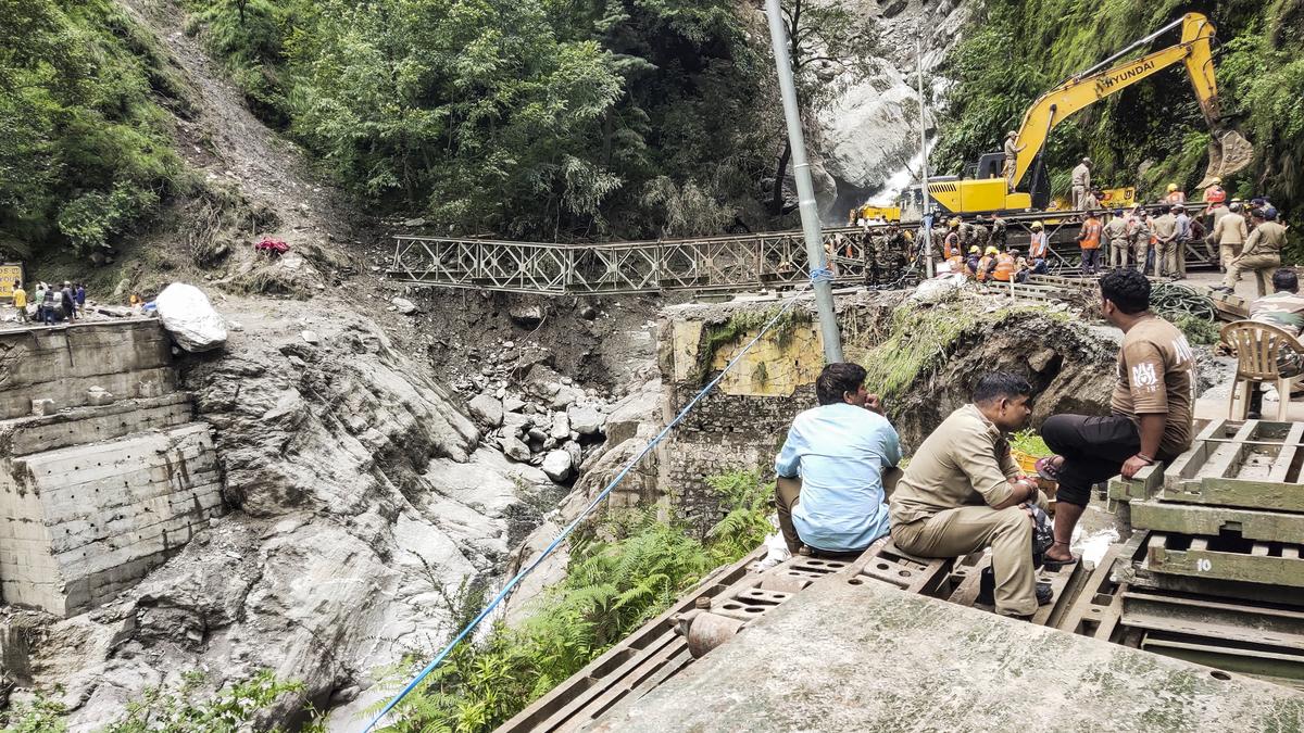
While the exact cause of the flash floods in Uttarakhand’s Dharali remains unclear, experts and glaciologists have proposed various hypotheses to explain the massive mudslide that ravaged the area.
The affected area in Dharali is located on an alluvial fan, a geological feature formed by debris from past flood events. Specifically, earlier floods at the confluence of the Kheer Ganga stream and the Bhagirathi River led to sediment deposition at the river mouth, shaping this fan.
Although the village is situated around 200 metres away from the river, increasing commercialisation in recent years has led to the development of several establishments directly on the alluvial fan, experts say, pointing to the growth of tourism-related activities and the construction of the Dharasu-Gangotri highway through the village.
A glaciologist said that a landslide had struck 2 kilometres uphill from Dharali earlier, which might have been reactivated.
In a paper by Bhambri R et al, High Mountain Hazards in Uttarakhand, covering hazards, including glacier lake outburst floods, rainfall-induced landslides, and flash floods, and their influence on downstream areas in Uttarakhand, the authors identified 2,772 landslides over an area of 15.9 sq km.

Following the June 2013 rainfall in the Bhagirathi Basin, 1,434 new landslides and 533 existing landslides were activated. The locations closest to the Bhatwari, Pilang, Dharali, and Tehri dam sites observed the most landslides. New ones covered 32% of all landslides, compared to reactivated landslides, which accounted for 39% of all, the paper says.
With the help of satellite imagery and terrain analysis, the glaciologist said that further above this slope, around 7 km above Dharali, there are two glaciers with huge crevasses, which cause expedited melting.
Story continues below this ad
“They are also avalanche-feeded glaciers. Below these are seven small lakes. These glaciers could have breached, went downstream, broke out as the temperature is higher and the water is moving downwards, bringing with it sedimentary deposits and moraines, rock and debris transported from the glaciers. From what we gather from videos, debris per cent is higher in the flow that struck, and debris erosion has destructive potential,” he said.
While IMD data shows moderate rainfall, the scientist said that the orographic barrier must have played a part in decreased precipitation in areas in lower elevation. “Some heights block moisture. Due to the height of a particular peak, which is around 5,700 metres above sea level, it did not let this cloud pass it, resulting in the accumulation of moisture. Due to increased condensation of the cloud as well as a rise in temperature, the cloud precipitated in the form of rainfall and not snow. Kheer Ganga, Harsil, and Sukhi top could have flooded because of this phenomenon,” he said, adding that this rules out glacier breach as that could have flooded just Kheer Ganga, without causing floods in Harsil and Sukhi top.
These three tributaries joining Bhagirathi river downstream have different catchments. “Orographic barrier and condensation led to lower elevation receiving less rainfall in comparison to the upper areas,” he said.


 English (US) ·