ARTICLE AD BOX

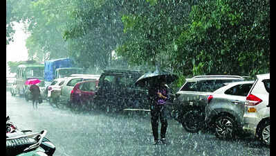
Panaji: With the southwest monsoon hitting the weak mode for several days and light to moderate rainfall likely to continue for a few more days, the large surplus that had been accumulated after its vigorous onset in the state has shrunk to 20%.
There is no cause for alarm, experts say, as a surplus or deficit below 20% is considered normal.On Thursday, the seasonal total after the monsoon advanced over the state on May 25 touched 72.2mm, while 60mm of rainfall is considered normal at this stage.With no strong systems to rejuvenate the monsoon current, the India Meteorological Department (IMD), Panaji, has forecast light to moderate rainfall in the coming days.During the past 24 hours, the rainfall has been largely moderate, as Quepem recorded the highest of 40mm, Dharbandora 31mm, Panaji 23mm, Sanguem 21.1mm, Sanquelim 20.6mm, Old Goa 18.2mm, Ponda 16.8mm, and Pernem 16.4mm.The current pattern of mostly bright weather with occasional spells of rainfall is likely to continue for at least six more days, an IMD bulletin has forecast.“The monsoon has been weak over central and south peninsular India by 23% and 56% respectively,” said M R Ramesh Kumar, former chief scientist of National Institute of Oceanography, Dona Paula.In comparison, northwest, east, northeast regions are enjoying surpluses ranging from 62% to 89%.
“The country as a whole has an excess of 17% of rainfall,” Kumar said.The progress of the monsoon has halted after the initial burst that covered Kerala, Karnataka, Goa, and Maharashtra in a few days.“This could be due to various conditions over the surrounding regions such as the Arabian Sea and the Bay of Bengal with no convective system to support the monsoon,” Kumar said.A convective system is a collection of thunderstorms.


.png)
.png)
.png)


 1 day ago
3


 English (US) ·