 3 hours ago
4
3 hours ago
4

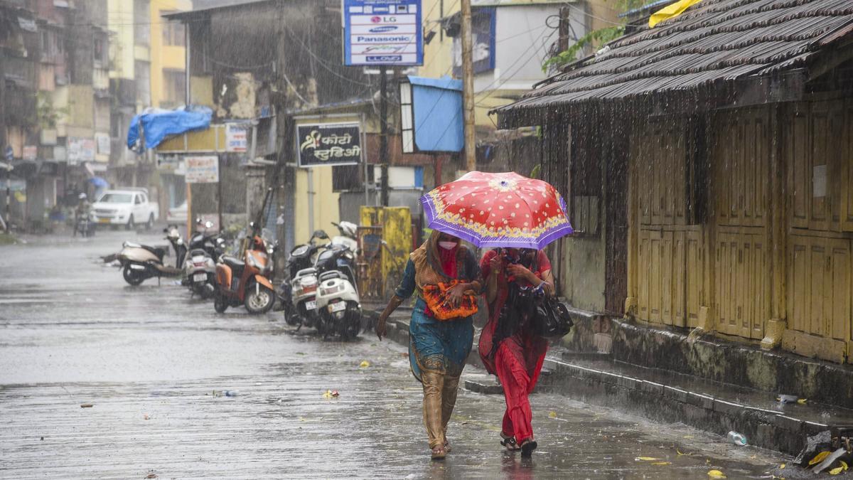
The northeast monsoon set in over Kerala on Thursday (October 16, 2025), triggering widespread heavy rainfall across the State, especially in the southern and central parts.
According to a weather bulletin issued by the India Meteorological Department (IMD), the southwest monsoon withdrew completely from the country on October 16. Simultaneously, the northeast monsoon rainfall activity has commenced over Tamil Nadu, Puducherry, Karaikal, coastal Andhra Pradesh, Rayalaseema, south interior Karnataka and Kerala-Mahe region on Thursday.
![]()
The onset is likely to remain vigorous, with a couple of weather systems prevailing in the Bay of Bengal. An upper air cyclonic circulation lies over the Comorin area and neighbourhood extending up to mid-tropospheric levels. Further, enhancing the rain activity, easterly/northeasterly winds set in over southern peninsular India and south and adjoining central Bay of Bengal in the lower tropospheric levels.
Under this influence, fairly widespread rainfall occurred over Tamil Nadu, Puducherry and Karaikal and adjoining areas of south coastal Andhra Pradesh and Kerala during the past 24 hours.
Low-pressure area
In addition, a low-pressure area is likely to form over the Bay of Bengal by October 19. This is likely to enhance the rain activity in Kerala.
Meanwhile, an orange alert has been issued for Kottayam and Idukki districts on Thursday where very heavy rainfall is likely. Seven districts – Thiruvananthapuram, Kollam, Pathanamthitta, Alappuzha, Ernakulam, Thrissur, and Malappuram – have been put on yellow alert warning of heavy rains during the next 24 hours.
Kerala receives an average 492 mm of rainfall during the northeast monsoon period. Last year, the State witnessed a normal season, with 487.2 mm rain.


 English (US) ·