ARTICLE AD BOX
3 min readBengaluruJul 5, 2026 07:19 PM IST
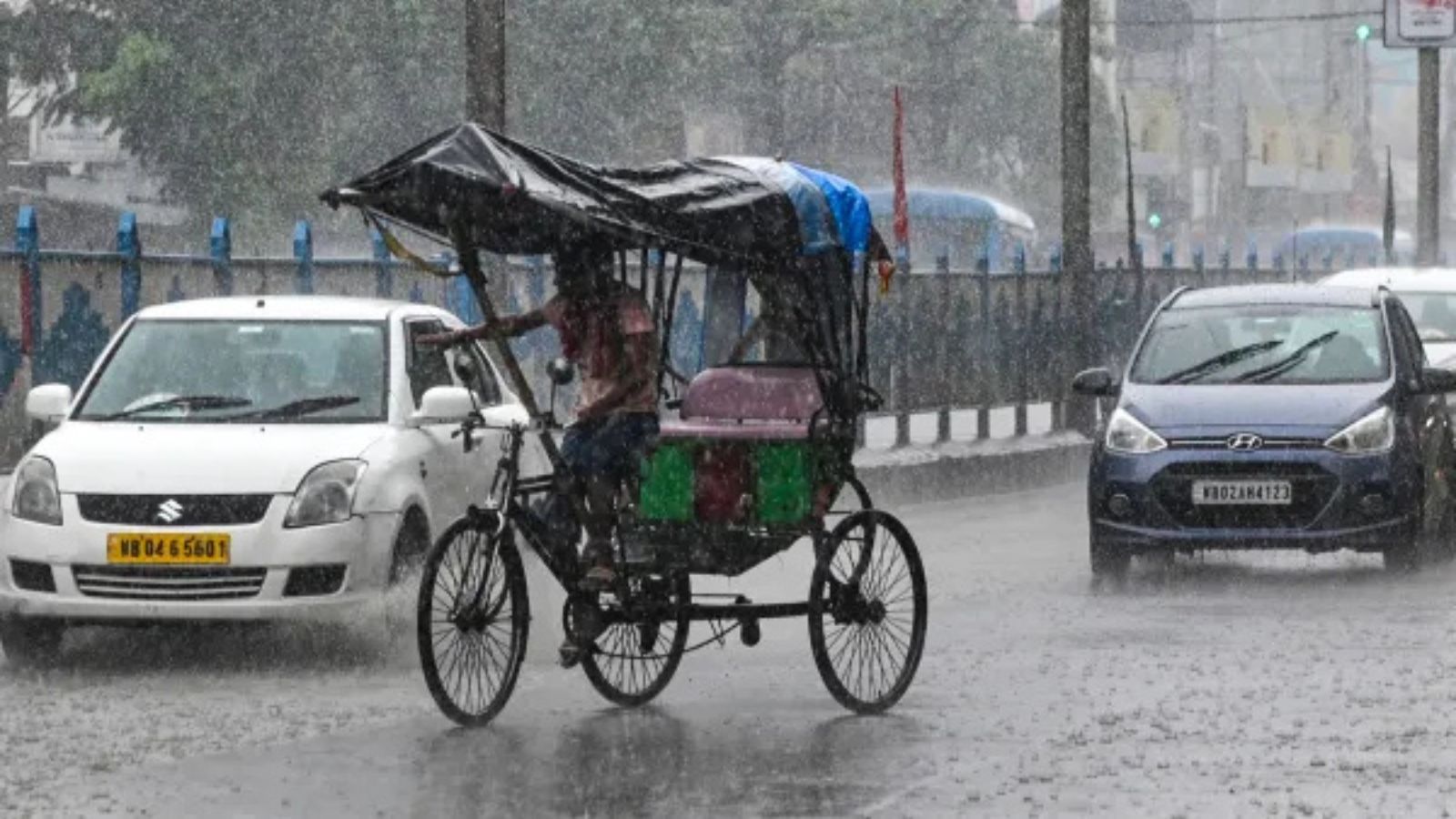 The normal date for monsoon to cover the entire country is July 8; this year, it may be close to the normal date or slightly delayed. (File Photo)
With the formation of season’s first depression over the Bay of Bengal, eight states across India’s central and west coast are expected to receive extremely heavy to heavy rainfall over the next two days.
For Monday, IMD has issued a ‘red alert’ for Chhattisgarh, Konkan and Madhya Maharashtra, and eastern Gujarat. The alert will continue for Tuesday in Konkan and eastern Gujarat while it will be downgraded to ‘orange alert’ in Chhattisgarh and Madhya Maharashtra, which will experience very heavy rainfall (110-200mm in 24 hours) on Tuesday, the IMD said.
Overall, Chhattisgarh, Konkan and eastern Gujarat are likely to experience extremely heavy spells (more than 200mm in 24 hours) during the next two to three days, the IMD has warned.
Meanwhile, on Sunday, several areas in Mumbai and ghats of Pune in Madhya Maharashtra recorded very heavy spells of rainfall. Some of the wettest areas recorded along the west coast of Maharashtra were Raigad district’s Bhira (386mm); Pune district’s Tamhini (310mm) and Shrigaon in Palghar (275mm). Besides, Colaba in Mumbai (265mm), Lonavala in Pune district (263mm), Vikhroli in Mumbai (257mm), Shirpur in Dhule district (249mm), Koyna in Satara district (210mm), besides Byculla (188mm) and Bandra (163mm) in Mumbai also recorded significant rainfall.
Extremely heavy spells in Odisha
Outside Maharashtra, Odisha saw extremely heavy spells with the highest 24-hour rainfall (ranging from 190mm to 280mm) recorded across Kandhamal, Cuttack and Nawapara districts.
India Meteorological Department (IMD) officials said that the heightened rainfall activity is due to the formation of the season’s first depression. By Sunday afternoon, it was located to the south-southeast of Balasore in Odisha and 60 km south-southwest of Digha in West Bengal. As per the Met department, it is likely to move across north Odisha coast between Chandbali and Digha, close to Balasore, during the next 24 hours.
“It will further continue to move across north Odisha-north Chhattisgarh by Tuesday, bringing widespread rain all through its path,” the IMD said.
Story continues below this ad
While June had ended with 30% (99.5mm) rain deficit, the all-India rainfall improved to -24% by Sunday, the IMD rainfall data stated.
Monsoon advance over country
July marked the revival and strengthening of the southwest monsoon with widespread rainfall reported across the country over the past five days.
The northern limit of monsoon runs through Jamnagar (Gujarat), Udaipur, Ajmer and Jhunjhunu (Rajasthan), Hisar (Haryana) and Bathinda (Punjab).
The normal date for monsoon to cover the entire country is July 8; this year, it may be close to the normal date or slightly delayed.
Story continues below this ad
“Conditions are favourable for further advance of southwest monsoon into some more parts of Gujarat, remaining parts of Haryana and Punjab, and some more parts of Rajasthan and north Arabian Sea during next three days,” the IMD said on Sunday.


 English (US) ·