ARTICLE AD BOX
Last Updated:February 13, 2026, 09:54 IST
Pakistan’s Foreign Office spokesperson Tahir Andrabi said Islamabad raised objections with US authorities over a map depicting the entire Jammu and Kashmir region as part of India.
![]()

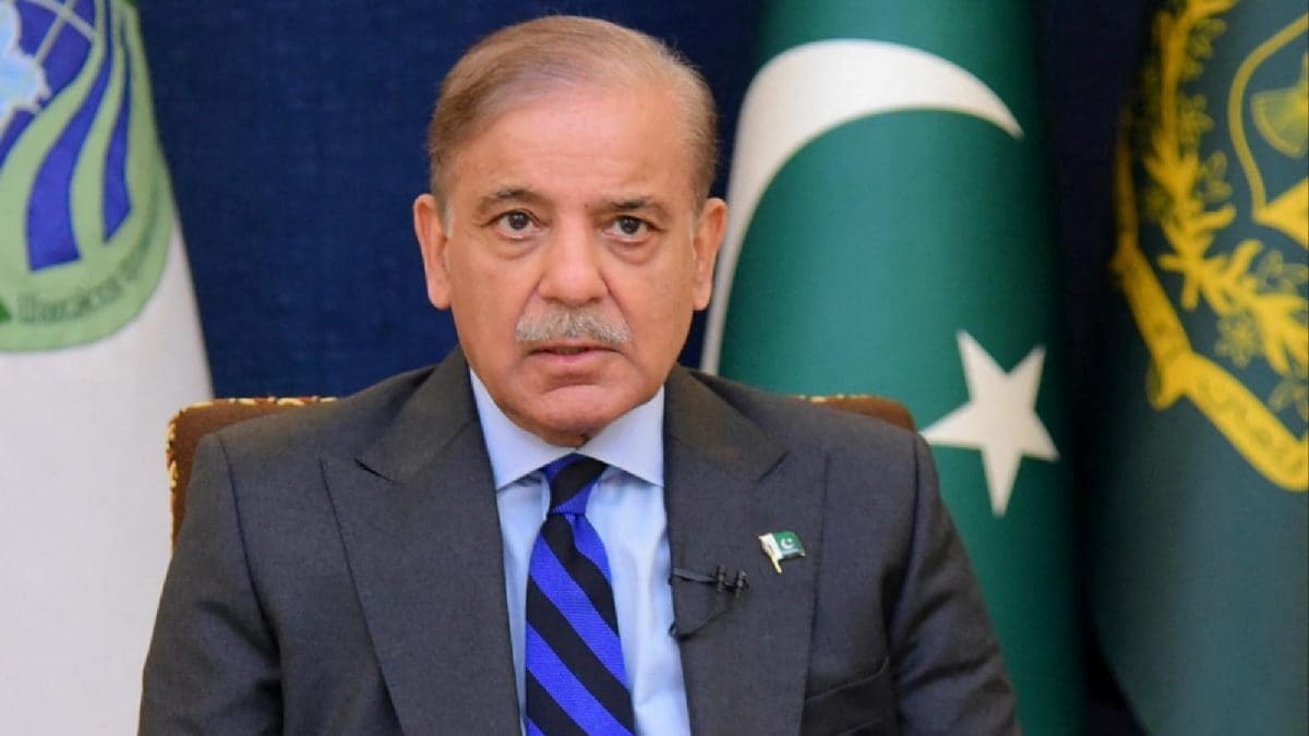
A file photo of Shehbaz Sharif (AP)/Map of India earlier posted by USTR
Pakistan’s Ministry of Foreign Affairs spokesperson Tahir Andrabi has acknowledged that Pakistan was left red-faced after US authorities released a map of India that depicted the entire region of Jammu and Kashmir as part of Indian territory.
In a public briefing, Andrabi said that Islamabad had contacted US authorities over the social media post, asserting that the map was “illegal" and inconsistent with the United Nations’ position.
His remarks were revealed days after the map was deleted from the US Trade Representative’s social media handle.
Addressing a media briefing, Andrabi said, “As regards the map, yes, this map was put up at certain handles. We contacted the US authorities, and they realised that this map was illegal."
He said that the depiction did not reflect what he described as the internationally recognised position on the disputed region.
“The international map on Jammu and Kashmir, and as a result, the international map delineating Pakistan and Indian territories, is legally sanctified by the United Nations," he said.
Referring to the United Nations’ position, Andrabi added, “So if you go to the United Nations website, you will see the accurate map."
He further said, “And we note with satisfaction that the US side made the requisite correction to highlight the legal UN-sanctioned map of our region."
According to the spokesperson, the map recognised by the UN “clearly delineates Jammu and Kashmir as a disputed territory whose settlement is to be done through a UN-administered plebiscite in accordance with the UN Security Council resolutions."
The office of the US Trade Representative (USTR) removed a post on X that had featured a map of India showing the entire region of Jammu and Kashmir, including Pakistan-occupied Kashmir (PoK), as well as the Aksai Chin region, as part of Indian territory.
The map was shared last week when the US and India announced details of a bilateral interim agreement framework on trade.

![]()
According to news agency PTI, on previous occasions, maps of India had shown a demarcated line to portray PoK and Aksai Chin separately.
However, in this instance, the map issued by the USTR showed the entire region of Jammu and Kashmir, including both areas, as an integral part of India.
India has consistently maintained that the entire Union Territory of Jammu and Kashmir “has been, is and will always be an integral and inalienable part of India."
It also maintains that Aksai Chin is an integral part of its territory based on historical claims and past treaties.
Handpicked stories, in your inbox
A newsletter with the best of our journalism
First Published:
February 13, 2026, 09:52 IST
News world Pakistan Was Left Red-Faced, Approached US To Remove 'Illegal' India Map In Trade Deal Post
Disclaimer: Comments reflect users’ views, not News18’s. Please keep discussions respectful and constructive. Abusive, defamatory, or illegal comments will be removed. News18 may disable any comment at its discretion. By posting, you agree to our Terms of Use and Privacy Policy.
Read More


 English (US) ·