

 1 hour ago
5
1 hour ago
5
ARTICLE AD BOX
Last Updated:July 08, 2026, 19:55 IST
Human chain, tractors, high fares: Vasai, Virar and Nalasopara continues to suffer amid heavy rain


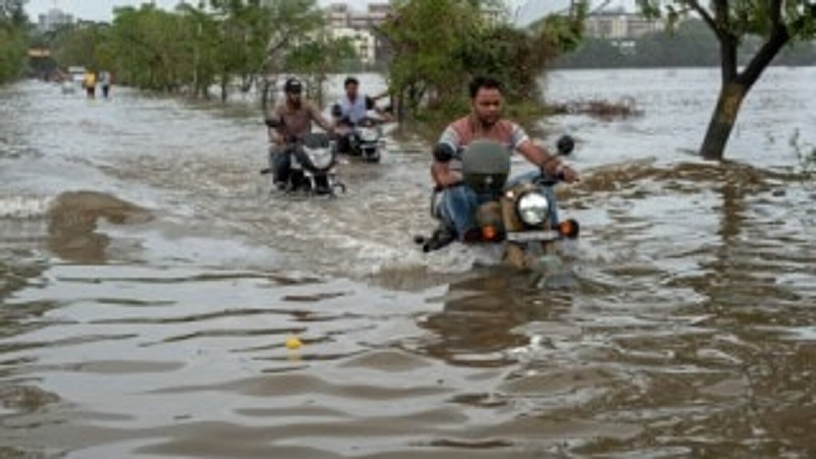
Vehicles make their way through a waterlogged road at Vasai-Virar in Palghar district on July 8. (PTI)
Mumbai’s Vasai-Virar and Nalasopara region saw little respite on day 5 of heavy rain, with public infrastructure still paralysed, waterlogging in low-lying residential areas and citizens stranded.
News18 explains the ground reality.
HOW MUCH RAIN DID VASAI, VIRAR AND NALASOPARA RECEIVE?
- Saturday, July 4: The deluge began with 213 mm of rain pouring over the city within 24 hours.
- Sunday, July 5: The most severe battering occurred on Sunday, peaking at a massive 325 mm.
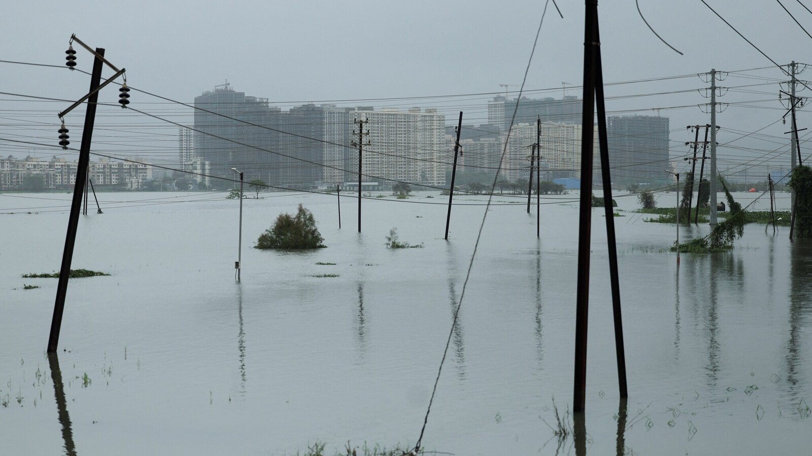
- Monday, July 6: Extreme rain continued through the evening, logging another 202 mm by 7:00 PM.A view in Vasai on July 8. (Reuters)
- Tuesday, July 7: Persistent downpours kept the city waterlogged, forcing schools and colleges to close under a Red Alert.
- Wednesday, July 8 (Today): The region logged an additional 215 mm of rainfall over the last 24 hours. This marks the third consecutive day of total transport, network, and power failure for stranded residents.
According to the India Meteorological Department (IMD), this intense spell is expected to finally show a gradual reduction starting from July 9 onwards.
#WATCH | Mumbai, Maharashtra: On local train services being affected amid heavy rain in the state, Western Railway CPRO Vineet Abhishek says, “Services are running between Churchgate and Virar, and from Virar to Dahanu Road. The major issue is in the Nalasopara area; connectivity… pic.twitter.com/88nKXoHpWf— ANI (@ANI) July 8, 2026
WHAT IS THE STATUS OF LOCAL TRAINS AND TRANSPORT?
Local train services on the Western Line are running with significant disruptions. Waterlogging on the tracks between Vasai Road, Nalasopara, and Virar has forced trains to move at a restricted speed, causing delays of 25 to 30 minutes.
Connectivity between Churchgate and Vasai Road has normalised, but services further north toward Virar face recurring hurdles, including point failures that earlier forced train reversals from Bhayander and Vasai Road.
Long-distance train routes heading towards Gujarat are heavily disrupted, with multiple cancellations, short-terminations, and rescheduling north of Virar.
Due to the severe rail backlog, hundreds of stranded passengers have been spotted risking their lives by walking along the waterlogged railway tracks in knee-deep to waist-deep water to get home.
GROUND REALITY AND CIVIC IMPACT
Floodwaters have reached up to five feet high in several low-lying neighborhoods. Severely impacted locations include Sai Nagar and Nalasopara-Achole Link Road (Nalasopara), as well as Madhuvan City, Vasant Nagari, Central Park, and Oswal Nagari (Vasai). Water has aggressively entered ground-floor homes and shops.
Large sectors of Naigaon, Vasai, Nalasopara, and Virar have suffered major power outages lasting over 40 to 48 hours. This prolonged blackout has disabled mobile towers, cutting off cell network and internet connectivity, while also severely affecting the drinking water supply.
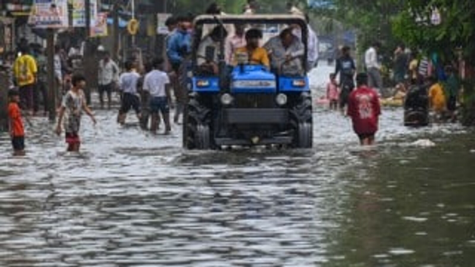
The Vasai-Virar City Municipal Corporation (VVCMC) along with NDRF teams are deployed on the ground, utilizing heavy-duty tractors and safety ropes to navigate strong street currents and rescue marooned citizens.
While social media clips show local children playing in submerged streets, district authorities have issued strict warnings regarding severe health risks from contaminated floodwater and hidden open electrical hazards.
WHAT IS THE FORECAST FOR TOMORROW?
Palghar district remains on alert. Residents are strictly advised by authorities to stay indoors, avoid touch points with standing water, and refrain from non-essential travel across the region.
WHY HAS VASAI, VIRAR, NALASOPARA FLOODED?
The severe flooding in the Vasai-Virar region is primarily caused by relentless monsoon rainfall—amounting to over 500 mm in a 36-hour window—acting on a highly vulnerable “bowl" topography.
Tightly sandwiched between the Tungareshwar Hills and the Arabian Sea, the low-lying plains trap massive runoff cascading from the hills.
This natural bottleneck is exacerbated by unplanned rapid urbanization, where building projects have illegally reclaimed and concretised critical natural drainage systems like mangroves, wetlands, and salt pans.
When torrential downpours coincide with high ocean tides, the region’s compromised, blocked stormwater drains fail to flush water out, resulting in deep, prolonged waterlogging that submerges streets, housing colonies, and vital Western Railway tracks.
With agency inputs
Handpicked stories, in your inbox
A newsletter with the best of our journalism
About the Author
At the news desk for 20 years, the story of her life has revolved around finding pun, facts while reporting, on radio, heading a daily newspaper desk, teaching mass media students to now editing speci...Read More
News india Rain Batters Vasai, Virar, Nalasopara For 5 Days: Trains Stuck, Roads Flooded, No Power & Phones, Tractors, HUman Chain To rescue
Disclaimer: Comments reflect users’ views, not News18’s. Please keep discussions respectful and constructive. Abusive, defamatory, or illegal comments will be removed. News18 may disable any comment at its discretion. By posting, you agree to our Terms of Use and Privacy Policy.
Read More







 English (US) ·