ARTICLE AD BOX
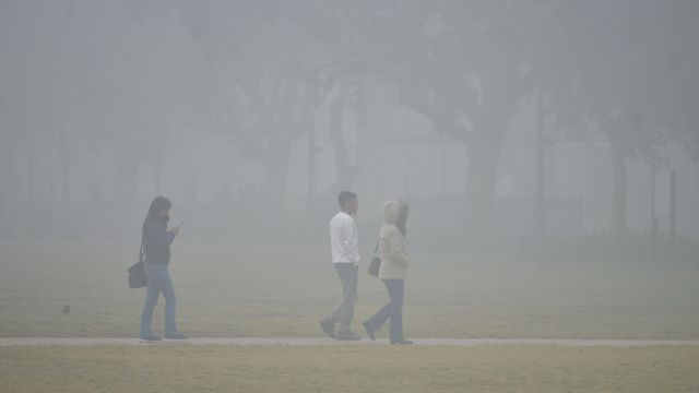 People walk amid dense fog on a cold winter morning, at Kartavya Path, India Gate, in New Delhi.(ANI Photo)
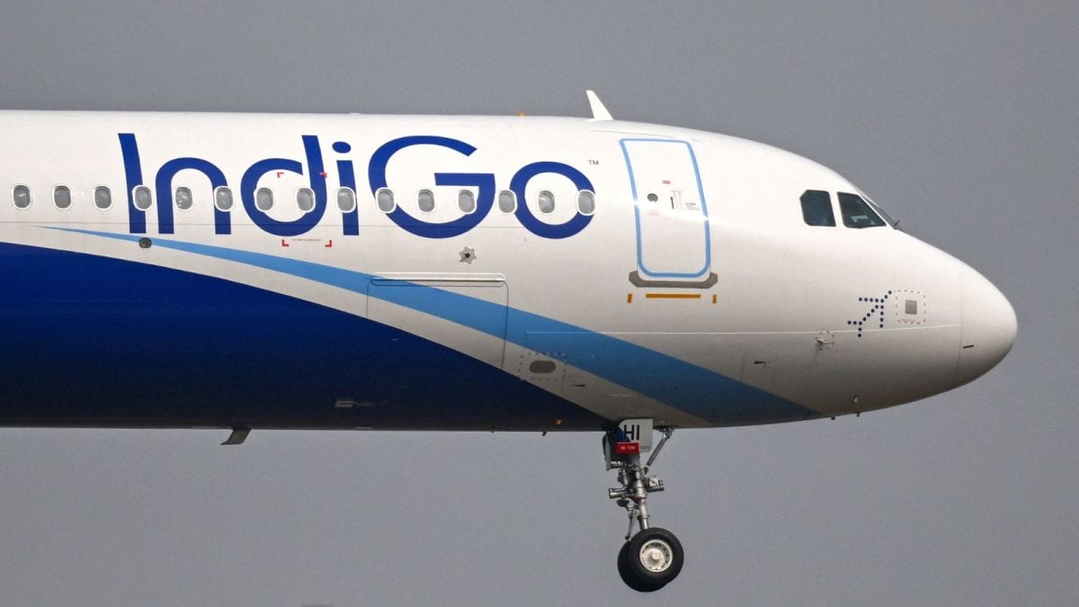
North India Weather Live News Updates: Thick smog blanketed the national capital on Monday, sharply reducing visibility and pushing air quality into the ‘very poor’ category. Visuals from ITO, Akshardham, India Gate and Kartavya Path showed iconic landmarks shrouded in haze. Dense fog also disrupted rail and air traffic. Several trains were rescheduled, while more than 105 flights were cancelled and over 450 delayed at Delhi’s Indira Gandhi International Airport due to low visibility on Sunday.
Himachal’s Dry Spell: Himachal Pradesh is witnessing its driest December on record, with a 100% rainfall deficit so far. While high altitude areas of Lahaul and Spiti received light snowfall on Sunday, it was insufficient to end the prolonged dry spell. Kukumseri recorded the lowest temperature in the state at minus 2.4 degrees Celsius, while Shimla remained relatively warm at 11 degrees Celsius, nearly five degrees above normal. The meteorological department issued a yellow warning for dense fog in parts of Bilaspur, Una and Mandi districts between December 22 and 25, while dry weather is expected elsewhere in the state.
Story continues below this ad
Snowfall Warning: While snowfall in Kashmir marked the start of ‘Chillai-Kalan’, the region’s harshest winter phase, Srinagar recorded its warmest night of the season at 4 degrees Celsius. In Punjab and Haryana, fog significantly reduced visibility, with Narnaul in Haryana and Gurdaspur in Punjab recording the lowest temperatures in their respective states. The India Meteorological Department has forecast heavy snowfall, rain and snowstorms in higher reaches of Jammu, Kashmir, Ladakh and northeast Himachal Pradesh till Monday.
Stay updated with the latest - Click here to follow us on Instagram
© IE Online Media Services Pvt Ltd


 English (US) ·