 1 day ago
6
1 day ago
6
ARTICLE AD BOX
")
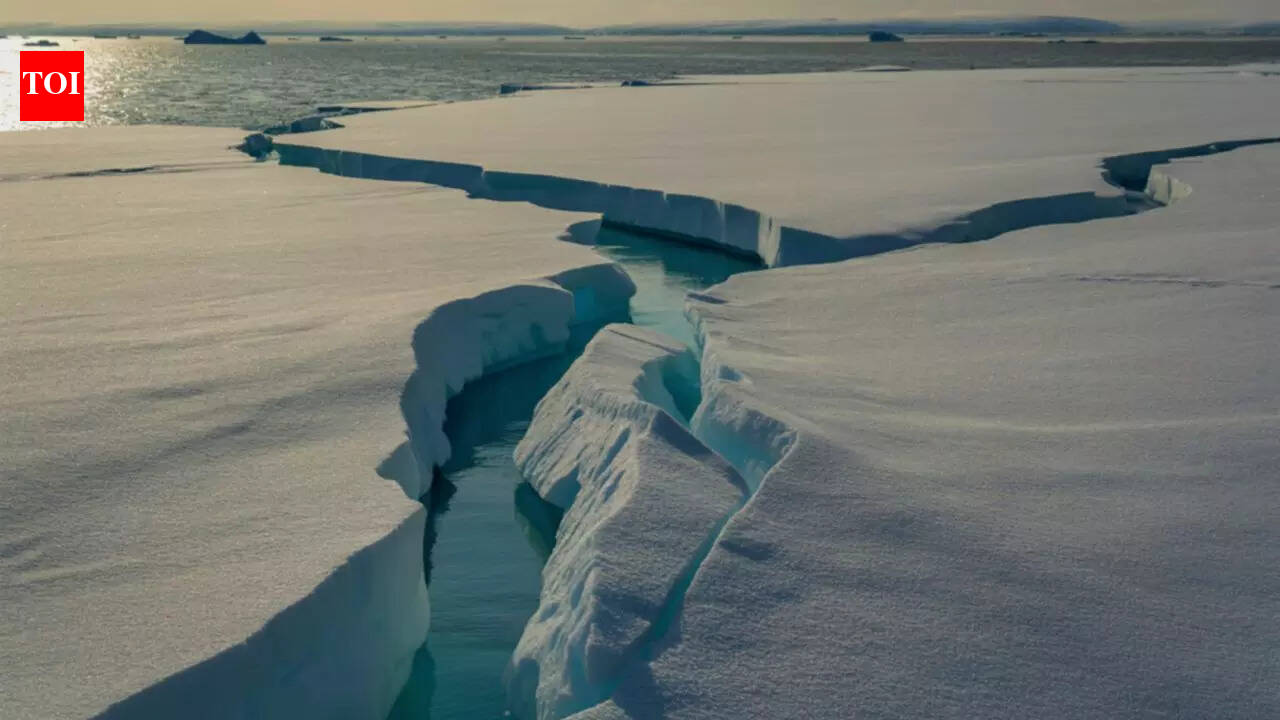
Ice in New York Bay and the Hudson River, much of which has floated down from further north, and comes and goes with the tide every six hours, in New York, Jan. 30, 2026. In the 19th century, ice sometimes clogged New York's waterways so thoroughly that pedestrians could stroll off Manhattan -- and while some of those waters are currently filled with icy chunks, you're probably not going to be able to walk to New Jersey any time soon. (José A. Alvarado Jr./The New York Times)
Late January brought a harder edge to winter in the New York metropolitan area. After days of persistent cold, ice gathered across the Hudson River along Manhattan’s western edge, altering the look and movement of one of the city’s busiest waterways.
A satellite image captured the change clearly, showing ice pressing against shorelines and drifting in slower channels. The scene reflected a longer cold spell rather than a single storm, with temperatures staying below freezing for more than a week. At street level, the freeze disrupted transport and daily routines. From above, it offered a quieter record of how prolonged Arctic air reshaped the city’s rivers, parks and built landscape in a short span of time.
NASA satellite image shows frozen Hudson River
The image was taken by NASA’s Landsat 8 satellite using its Operational Land Imager. Captured around midday on January 28, it uses a false colour view to separate ice, open water and snow. Ice appears pale blue, while vegetation shows as red. The Hudson stands out most clearly, though ice is also visible in the East River, the Central Park reservoir and waterways across parts of New Jersey. Snow blankets much of the surrounding land.
")
NASA satellite image shows frozen Hudson River (Image Source - NASA)
Prolonged cold drives ice formation
Temperatures in New York City fell below freezing on January 24 and remained there for over a week. On the day of the satellite pass, the high reached only 23 degrees Fahrenheit. Wind chills made conditions feel colder across much of eastern North America as Arctic air moved south. These sustained lows allowed river ice to thicken and spread, especially in calmer sections upstream where water freezes more easily.
Ice drifts from upriver into the city
Scientists note that much of the ice near Manhattan likely formed farther north.
Upriver sections of the Hudson have weaker tidal currents and lower salinity. Ice can develop there sooner and then drift south. A complete freeze near Manhattan is rare and has not occurred since the late nineteenth century. Even so, the buildup was enough to interrupt services, forcing NYC Ferry to suspend routes for several days.
Frozen rivers affect transport and ecosystems
River ice can carry wider consequences. It raises flood risks, strains infrastructure and alters water quality.
Changes in ice cover also affect aquatic habitats during winter. For these reasons, agencies increasingly rely on satellite tools such as radar and hyperspectral imaging to monitor ice conditions. These methods help track movement and thickness when ground observation is limited.
Winter signs spread across the city
Beyond the rivers, winter left other marks. A storm dropped nearly 12 inches of snow in Central Park on January 25. Low winter sunlight stretched long building shadows across Manhattan. Even local folklore joined the picture when Staten Island Chuck predicted more winter ahead. For now, forecasts suggest the cold will linger a little longer.


 English (US) ·